SUB 7
The Vermont Long Trail is a 272 mile foot path running down the spine of Vermont through the Green Mountains. It is the oldest long distance trail in the United States and was the inspiration for the Appalachian trail which happens to share 100 miles of the trail from the border of Massachusetts to Maine Junction where the Long Trail and Appalachian Trail split. The Northern Terminus is on the border of Canada in Jay, Vermont, I started here and traveled all the way to the Southern Terminus ending at the Massachusetts border in Pownal, Vermont!
I had the goal of hiking the entire Long Trail in under 7 days this summer. This is my story day by day about my attempt to do just that!
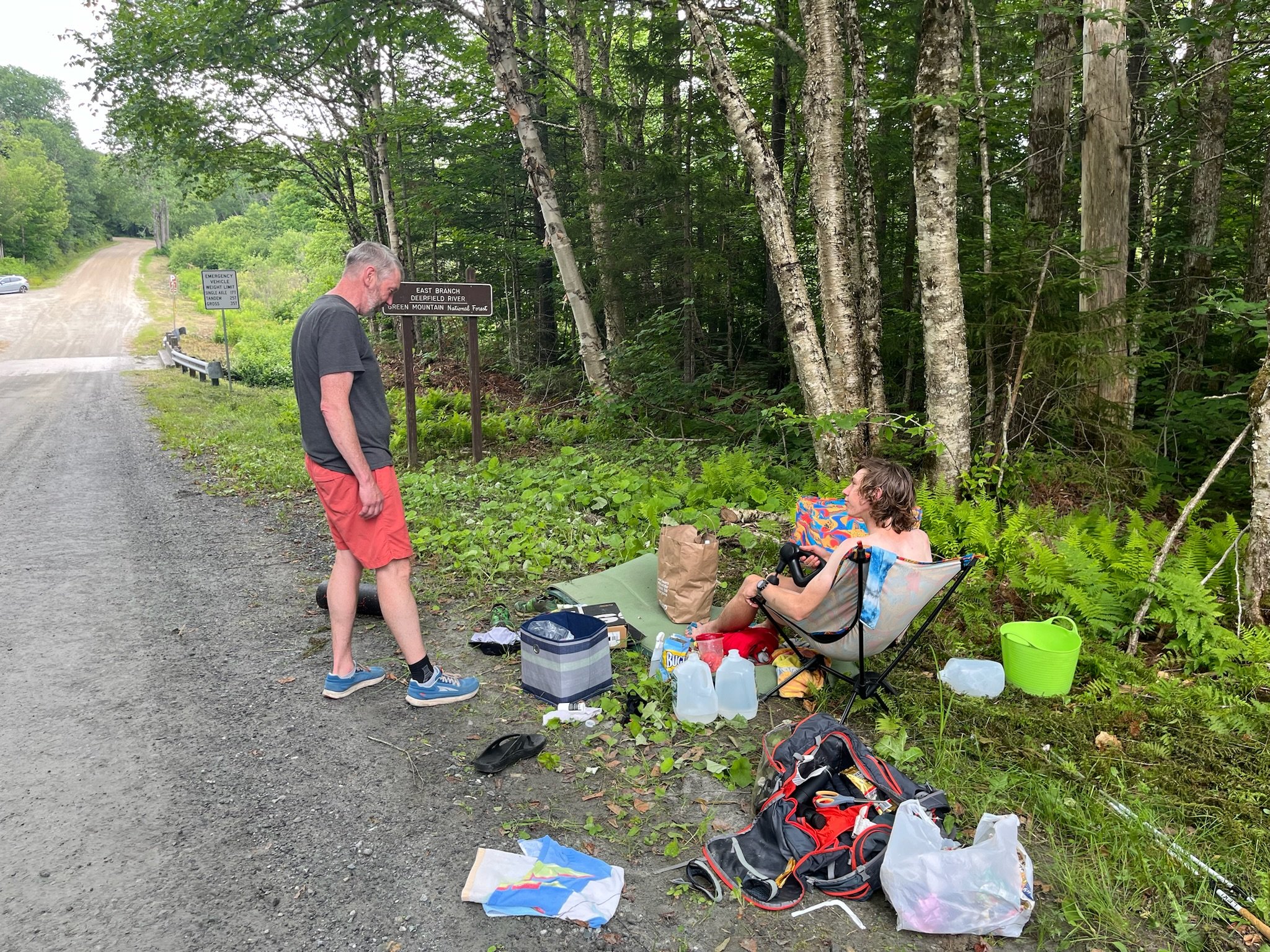
Day 1, 6/29/24 Northern Terminus to Spruce Ledge Camp
Started my day at Journeys End camp around 5am and arrived at the Northern Terminus just before 5:30am. I got my obligatory selfie with the marker at the Canadian border along the cut and started south on the trail at exactly 5:30am! It was time to move, at a pretty quick pace, if I wanted to achieve my goal of sub 7.

Standing on the border of US/CA
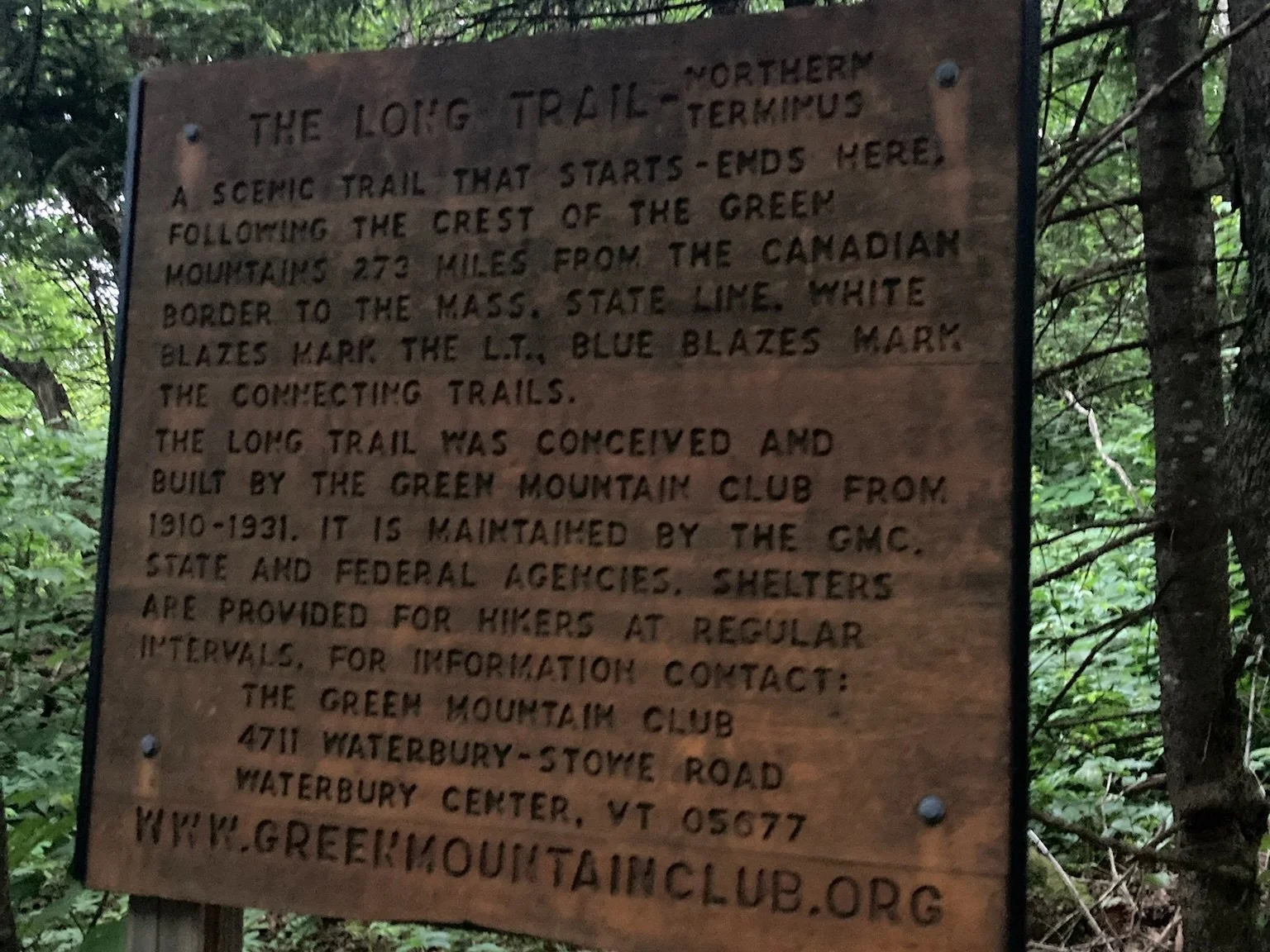
Northern Terminus
I had my goals laid out for where I wanted to end every day but somedays didn’t go as planned. Today was one of those days. Everything was going great until about 12:30pm just after I had stopped for lunch at Hazen’s Notch it started to rain a little bit. Within 15 minutes it was pouring rain, I was soaked. my pack was soaked. I had my tent strapped to the outside of my pack and not in a dry sack, so I stopped and wrapped it in my poncho to keep it from getting super wet. It worked for the most part, except I didn’t have a rain coat to stay dry. The poncho was my only rain barrier. Around 1:30pm I arrived at Tollistion Camp dripping wet, nearly shivering, finger and toes were prunes. Tollistion is nothing special, just a little four sided shelter with a couple bunks. Having some shelter out of the driving wind and rain was so nice. I got inside, took all my wet clothes off and put some dry ones on. After I warmed up and had some sugar and other food, I readjusted my pack and put my tent inside a dry bag so I could wear the poncho, and stay a little warmer and maybe drier. Waiting out some of the heavy rain at Tollistion for an hour or so I decided I needed to push on further.

The trail became a wet slippery stream
It was 2:30 in the afternoon, I had gone about 22 miles so far today and my goal was 35 miles. I threw that goal out the window when I was in Tolliston for an hour. There was another shelter about 8 miles south down the trail. This was the objective now. Spruce Ledge Camp. Another four sided shelter, super nice on the rainy windy nights. I dawned my wet clothes from earlier, poncho, strapped my pack back on and started towards Spruce Ledge. Putting wet cold clothes on is the absolute worst. But it was best option. I had only packed 2 changes of clothes. One to wear and one to sleep in. I arrived at Spruce Ledge around 7pm. Took me quite a while to go 8 miles but I’m glad I pushed through and got some more milage under my legs. Changed out of the wet clothes and made a hot meal of garlic parmesan ramen noodles and went to bed. Slept ok, it was nice to have the rain dripping on the tin roof all night long.
Not the best start to an effort like this. Miserable actually. There was a lot of lows today and questioning the why behind this. I wanted to quit and just go home because I was so miserable and cold. It was a mental battle for sure, the physicality of this first day wasn’t bad for me. I can overcome the cold but the mental game of this was going to be hard.


Day 1 according to my GPS watch:
30.01 miles
9,946’ of elevation gain
13h 13m 56s of total time on trail today
Day 2, 6/30/24 Spruce Ledge Camp to Taylor Lodge
Woke up pretty early this morning around 5:30am and was on the move at 6am. This was ideal as I had a fairly large day ahead of me. I would be trying to make up for the milage I wasn’t able to do yesterday and finish the day where I had planned on which was Taylor Lodge on the south side of Mount Mansfield.
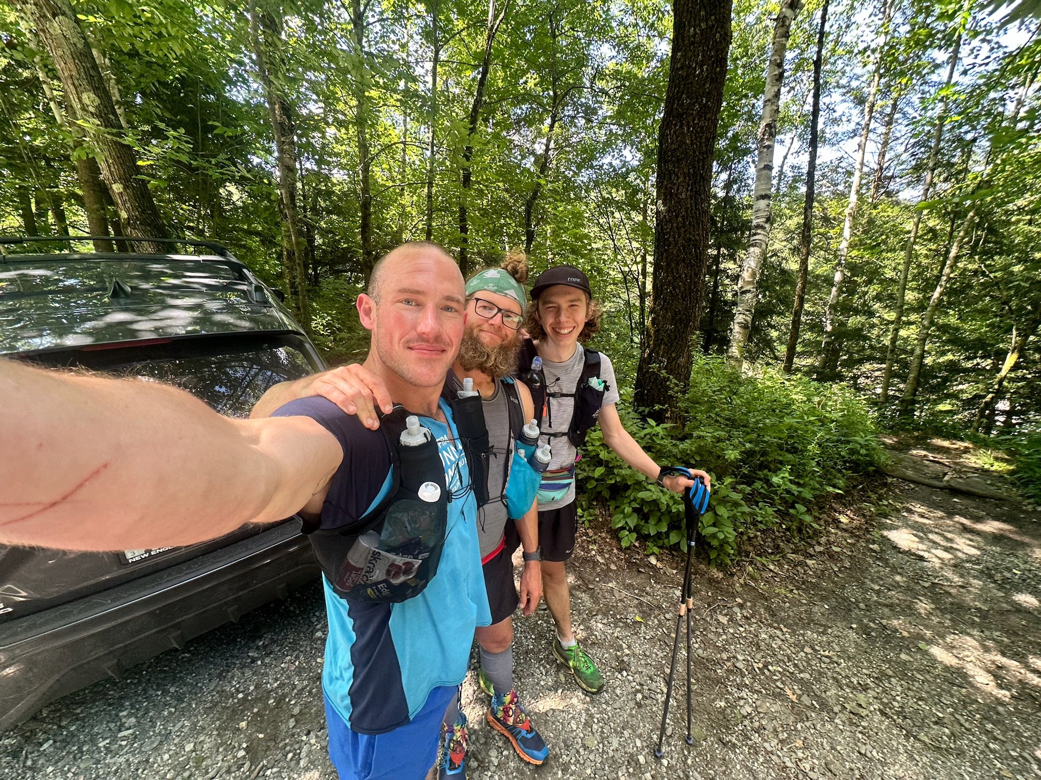
Zac, Hunter, and myself at Hog Back Road
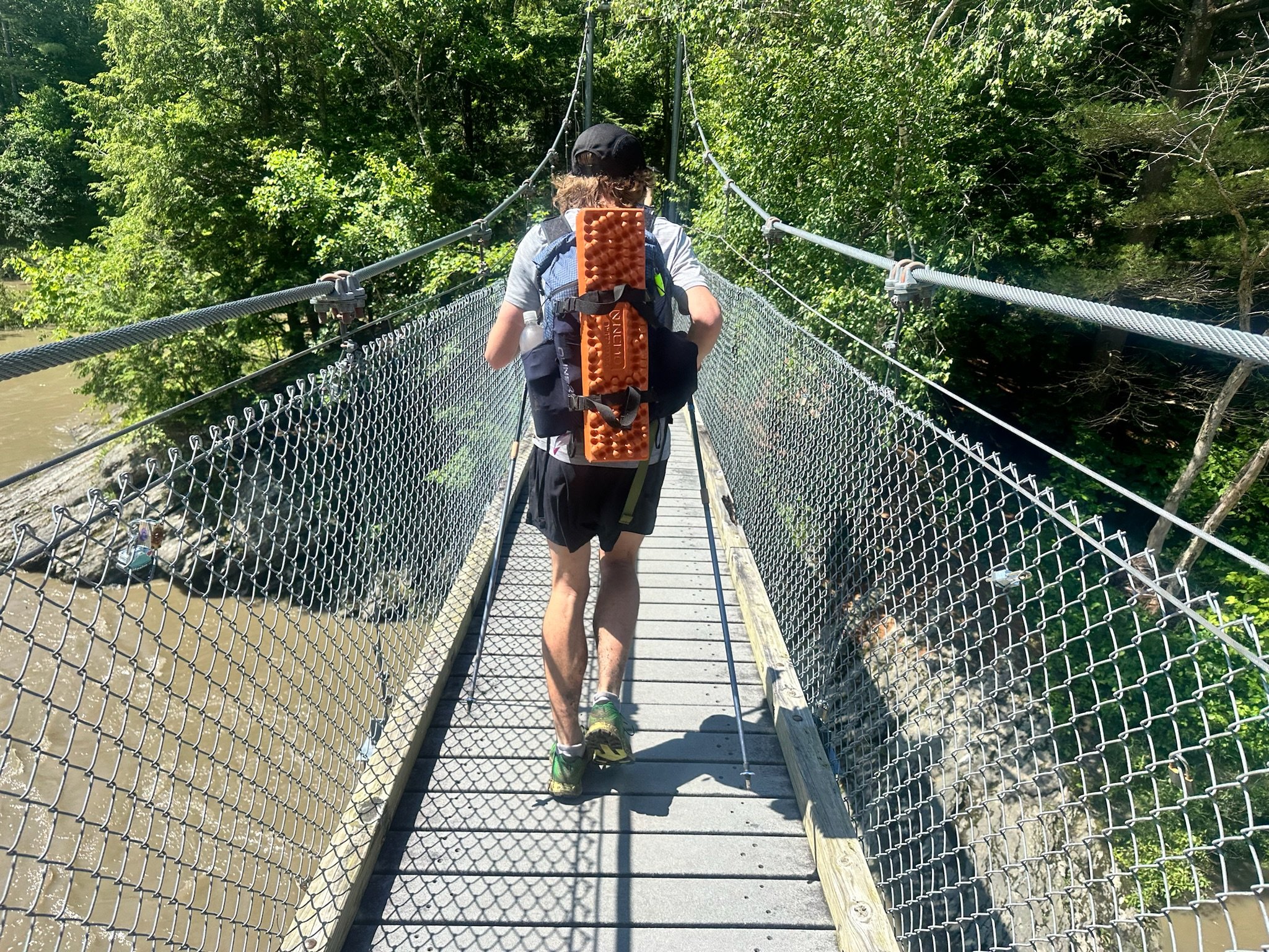
Crossing the Lamoille River
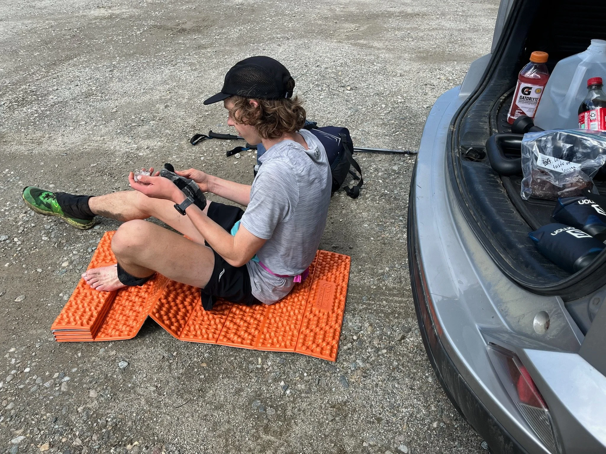
I was meeting some friends today at the first road crossing and they would stay with me until Taylor Lodge helping me pace and crew one of the hardest sections of the whole trail. It was a 15 mile trek to that road crossing, Hog Back Road. Zac and Hunter were there with some breakfast sandwiches and a coffee, life changing. I was able to swap my wet muddy shoes for some dry ones at the road crossing. Blisters have developed on my heels and toes with all the moisture and muddy trails. We taped up the blisters with some Leukotape and threw a fresh pair of socks, then made our way south down the trail. This stop was only about 20 minutes. It felt like a long time to be sitting doing nothing but it also felt so good to rest and refuel!
The next section was 25 miles and close to 10,000’ of climbing. After 15 miles of hiking already this would be a challenge. The first couple miles went by fast. Easy to travel logging roads, muddy and wet but not terrible. Then we just went up and up and up. We climbed up Madonna peak which was the hardest climb of the day for me. It was probably 2 or 3pm at this point so I had the afternoon slump and was dragging a bit.
The last few steps up Madonna Peak

Zac and I heading off Madonna

Climbing up Mansfield
After Madonna the trail heads down into Smugglers Notch and then heads straight back up the other side to hit Mount Mansfield. This was also a tough climb but the descent felt more challenging on my body. I knew descending was my weak strength going into this but I guess I didn't know how bad it was. Mansfield was about a 3 mile hike to the summit and then a short ridge section before descending off the south side. We made good time going up, we got a short heavy rain shower just as we began the climb and it lasted most of the way up the mountain. At the top we were granted with a little break in the clouds for a view westward overlooking Lake Champlain and into the Adirondack Mountains in New York.
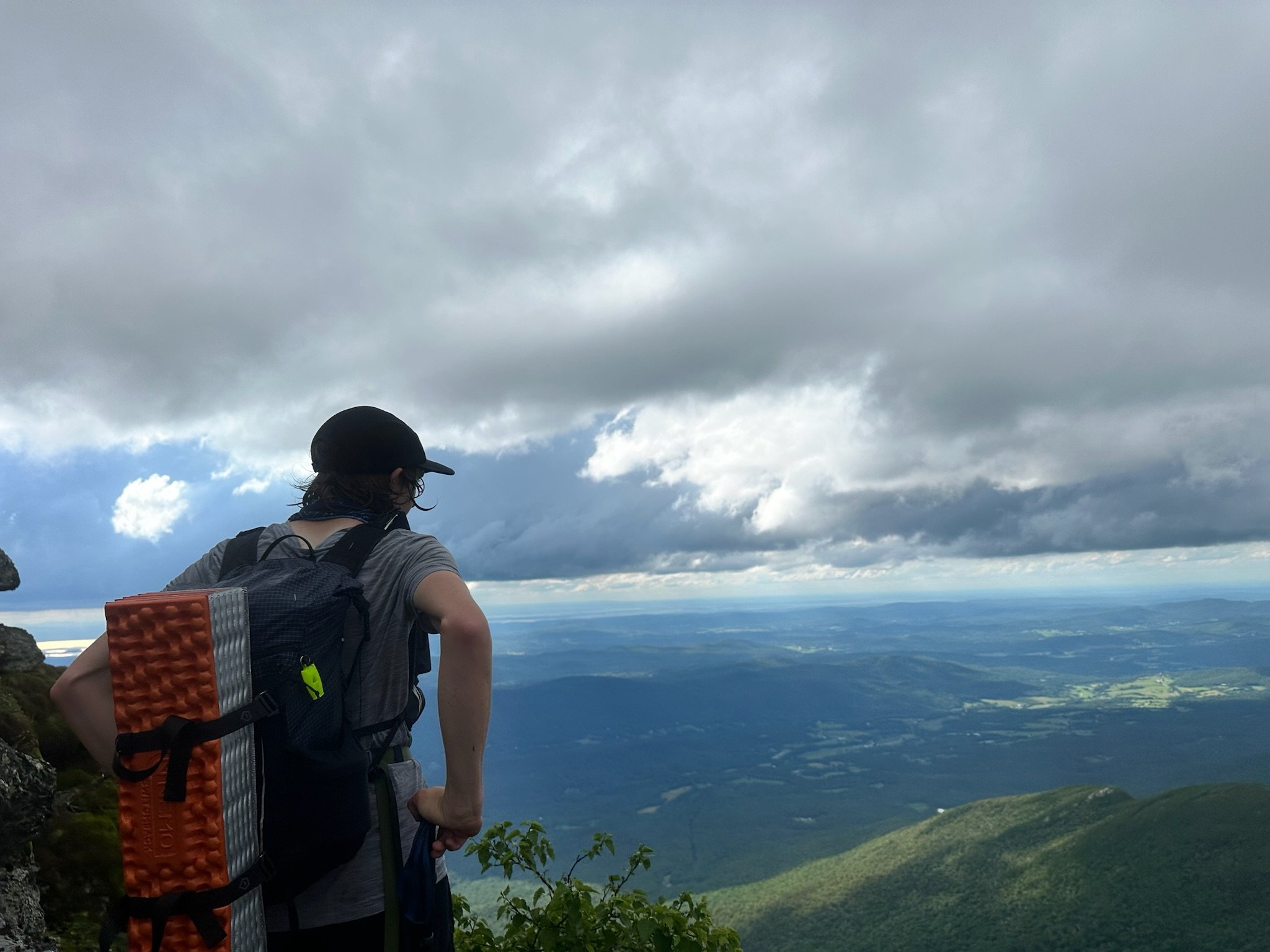
Looking north west near the summit of Mansfield

In the clouds
The descent off Mansfield was pretty technical, rock scrambles and ladders. Slow moving down those but fun to do them! Taylor Lodge wasn’t far after coming down off Mansfield. Only a few miles, we made good time on these miles. I think it was about 6:30 or 7pm when we got to Taylor Lodge. I also needed to get my resupply from Zac’s car which was a 1.6 mile hike to the parking lot. I had already done 40 miles at this point in the day and over 13,000 feet of climbing. I was beat, but I needed my food for the next day. I ran down with Zac and Hunter and got all my stuff said my goodbyes to them and headed back up the trail to Taylor.
It was about 8pm at this point and I was just now starting to make dinner. My stomach had just started hurting on the hike back up to the lodge. I was not feeling good, I didn’t want to eat or drink anything. I made a meal anyways and ate as much as I could before I felt like I would throw it all up. I got about half of my meal down and then threw the rest in a bag to pack out. I also drank as much water as I could handle before bed. Probably about a liter or so. Went to sleep not feeling great but slept ok minus getting up to use the bathroom a couple times in the pouring rain.

Cooking Dinner

Watching the stormy sunset from Taylor Lodge
Zac had me a good regime of eating 100-200 calories every 30 minutes which was so helpful. I was not doing this the previous day and it made a world of difference. My energy levels were pretty steady and I wasn’t crashing as hard in the afternoons. I took this advice and applied to the rest of trip on the Long Trail.
After yesterday’s miserable day today was much needed. A great morale booster having Zac and Hunter there to move me along and keep me strong. Ending where I had planned felt amazing to make up those miles and put in a day like today. The stomach pains were not fun but I knew it would happen at some point. Putting your body through something like this day after day it gets so stressed and weak, it becomes so hard to keep up with calories after you’ve been in a deficit. I tried my best to get as much food, liquids, and sleep as I possibly could. Tomorrow is always a new day.
Day 2 stats according to my GPS watch:
43.42 miles
13,348’ of elevation gain
14h 26m 56s total time on trail today
Day 3, 7/1/24 Taylor Lodge to Thoren Dean Shelter

Morning rays, my favorite!
Woke up a little later than I had hoped this morning but on the positive side of things my stomach was doing better. Muscles were feeling sore from yesterday. I ate a Clif bar as part of my breakfast before leaving Taylor Lodge at 6am. Today was going to be another good day of climbing. I started out climbing up 3 miles to the next shelter where there was a group of 3 other guys. I sat down and made a peanut butter honey wrap, we all chatted while they packed up and I made a mess of honey all over myself! We bid farewell to each other and went our separate ways. It’s always fun to chat with folks along the way. I did not spend a lot of time doing this going in the opposite direction of most and moving at a quick pace.

Only in Vermont would you find this sign
Taping up some nasty blisters at Duxbury Rd
Elizabeth was meeting me at Duxbury Road with some food and dry shoes. Duxbury Road was about 13 miles from Taylor Lodge, so it wasn't a terrible morning except that it was super foggy and drizzling rain. Just what I needed more of. The trails were a mud pit by this point. I got to Duxbury Rd around 10am where Elizabeth had some fresh fruit for me and some other snacks. I was still having some stomach trouble but it was manageable, I was able to eat or drink just about anything. I didn’t spend too long here at Duxbury but was able to change my socks and shoes and dropped all the weight I didn’t need for the day. Elizabeth would be meeting me later on tonight as well when I could pick up all the stuff I needed. With a lighter pack and a fueled body Elizabeth helped me run up Camel’s Hump. It was a pretty good climb for 6 miles, but we made good time! I remember Elizabeth telling me at one point “Damn you’re climbing so fucking strong” that felt good! I love to climb, and I mean love. The more climbing the better!

Working my way up Camel's Hump
Getting some carbs and calories in

Camel's Hump
At the top of Camel’s Hump I finished off the Coca Cola I had been sipping on the way up the climb for some carbs and caffeine. Gave my trash to Elizabeth and she headed back down to Duxbury Rd to her car. I headed south making my way towards Appalachian Gap. This was the next road crossing which felt like it was so far away, roughly 11 miles from the summit. The descent off camels hump was steep and a little treacherous, I slightly bent one of poles from catching a fall. It was a very pretty section especially as the sun started to go get lower in the sky. The lighting was perfect across the tree tops. This 11 mile section was definitely one of if not the prettiest of the whole journey. So lush and green, tons of mossy rocks, exactly what you expect from VT. A green tunnel, the Long Trail’s nickname!

Looking at tomorrow's challenge! Daunting.
I arrived at Appalachian Gap just after 7:30pm. I was exhausted, hungry and sore. Elizabeth had picked me up a cheese steak sub that I demolished! We watched the sunset and made a plan for the night and tomorrow. The plan was to camp right along Rt 17 at Appalachian Gap but I decided it was going to be too loud and noisy. I had wanted somewhere more quiet. Carrying all sorts of unnecessary gear that I would’ve just left at the road in the morning for Elizabeth to pick up the next day I headed up to the next shelter. I carried almost 2 gallons of water 2 miles up a steep climb to Thoren Dean Shelter. Tonight I was in a 3 sided lean-to, no more 4 sided luxury. I had the place to myself except for some huge mice that were a little scary in the middle of the night running across the tin roof. It was about 9:30pm and last light had just gone below the horizon. I laid down and went to sleep.

That cheese steak sub that was so good! And my nasty ass toes... so destroyed
Quick selfie in the prettiest light
Day 3 stats from my watch:
34.91 Miles
10,623’ of elevation gain
15h 43m 53s total time on trail today
Day 4, 7/2/24 Thoren Dean Shelter to Sucker Brook Shelter

Sunrise from Thoren Dean Shelter
Today I woke up just as the first light came over the horizon. It was so nice to see that right from the shelter, a good way to start the day. I kind of took my time getting ready this morning, enjoying the sunrise but I was still on the move at 6am. Headed up to the peak of Mad River Glen ski area. Not a far hike only about a mile. I got to the top of the mountain and looked out towards the east with the morning sun shining on all green dew covered grass, magical. Easily the best morning! There were some tents set up at the top of the mountain just overlooking the valley and my only thought was wow, this would’ve been a cool spot to camp, wish I had it in me to go a little further yesterday.
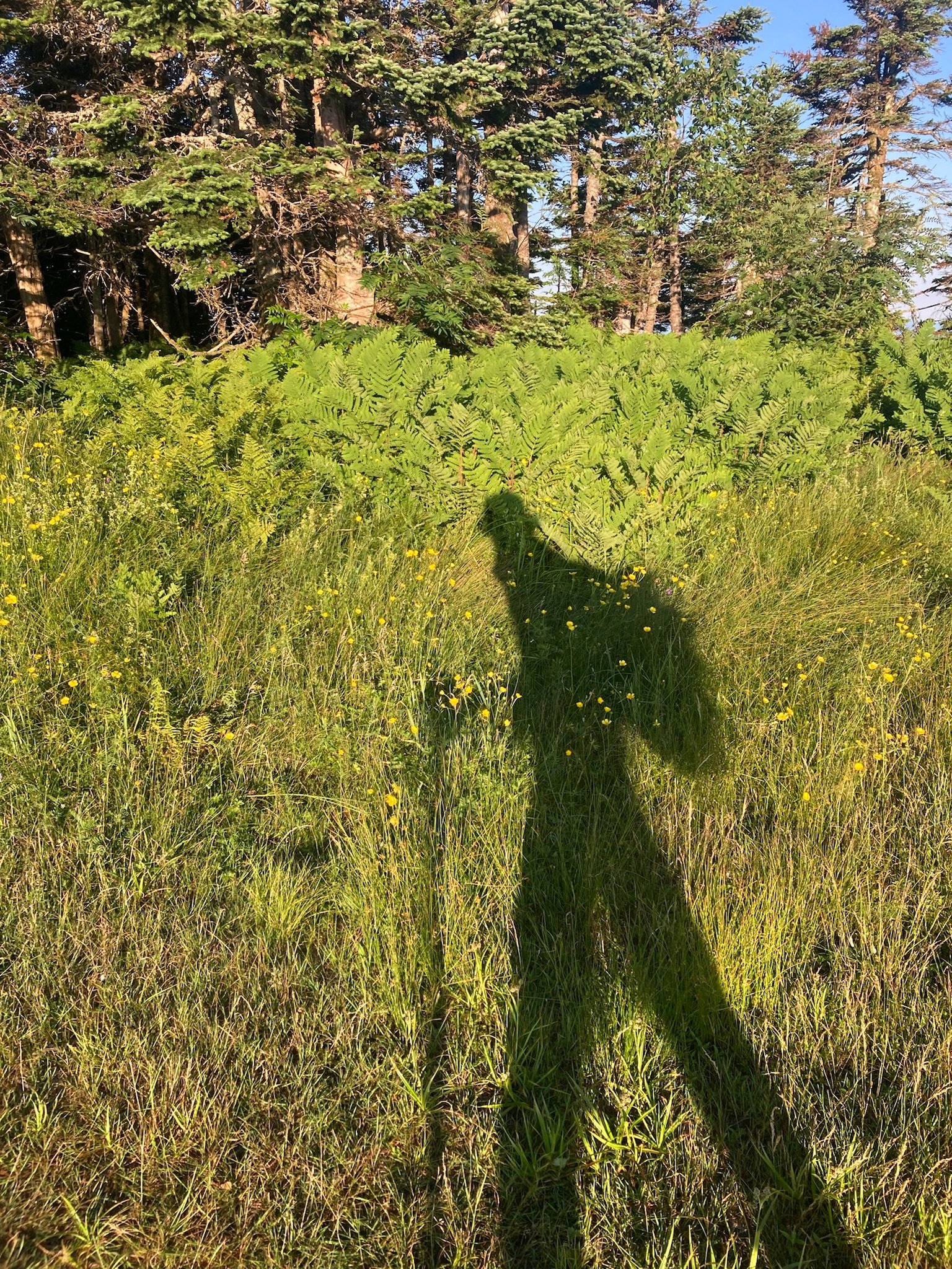
Morning shadows
I had 9 miles to Lincoln Gap which was the next road crossing. Elizabeth would be meeting me here. This was a beautiful ridge across the Sugarbush range! It was still a little cool out probably in the low 70’s, a lot of people I passed were in long sleeve shirts still. It was dead calm, no wind, no clouds, so gorgeous out there. I was able to do these 9 miles in about 4.5 hours which is a decent pace but could be done a lot faster. Elizabeth arrived a bit later than she was hoping to at Lincoln Gap but it gave me a nice rest to get some calories in. My Uncle Nate also stopped by Lincoln Gap to give me some food and a little moral boost. Elizabeth showed up about 45 minutes after I had gotten to Lincoln Gap, I took some more food for the next 17 mile section through the Breadloaf Wilderness and packed up my bag.
I said my goodbyes and headed off. I was thinking I could do this section in about 6-7 hours at the most but it took me a good 8 hours. Super discouraged at this point. It was the hardest section mentally for me so far. Physically too, I was having bad stomach pains and stopping at every shelter to use the privvy. Not ideal at all. Elizabeth asked me “Anything you need?” I replied with “More toilet paper please!!” it was bad! Got through it though. Ate when I felt like it but it was hard to drink or eat without feeling like garbage.

A typical road side stop!
Once I got to the next road crossing at Rt 125, (Middlebury Gap) I took a good break, soaked and cleaned my feet up, massaged my muscles and ate a little food. It always felt good to take these breaks near the end of the day especially when you have a good friend with you helping you achieve a personal goal. I spent about an hour here, still wanted to push forward as I had only gone 26 miles today. So many breaks and slow moving. Once I packed up for the night I set off towards Sucker Brook Shelter. I arrived at roughly 8pm and made myself Mac and cheese with some cajun spiced chicken. It was actually pretty good for a backpacking meal. I talked with the other guy at the shelter for a bit before we both tucked in for the night. I remember telling the other gentleman in the shelter that I would be leaving pretty early so I was sorry if I woke him up while packing up my sleep stuff. He didn't mind at all, he completely understood my goal! I then went to sleep with plans of being on trail wicked early.

Looking south from Mount Abraham
Day 4 stats from my watch:
30.24 Miles
7,776’ of elevation gain
14h 03m 45s total time on trail today
Day 5, 7/3/24 Sucker Brook Shelter to Killington Peak

Blue hour
Rise and shine! Early departure this morning, 3:30am on trail. Some early dark miles were much needed, I love the peacefulness of traveling in the dark under a headlamp. I had a pretty stout goal today of putting 40 miles on my feet, so that is why I woke up early.
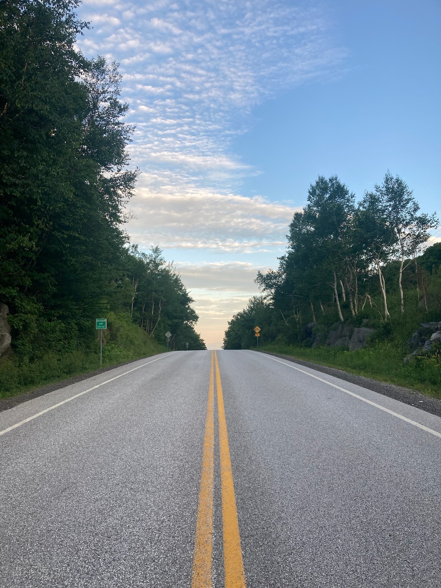
Brandon Gap
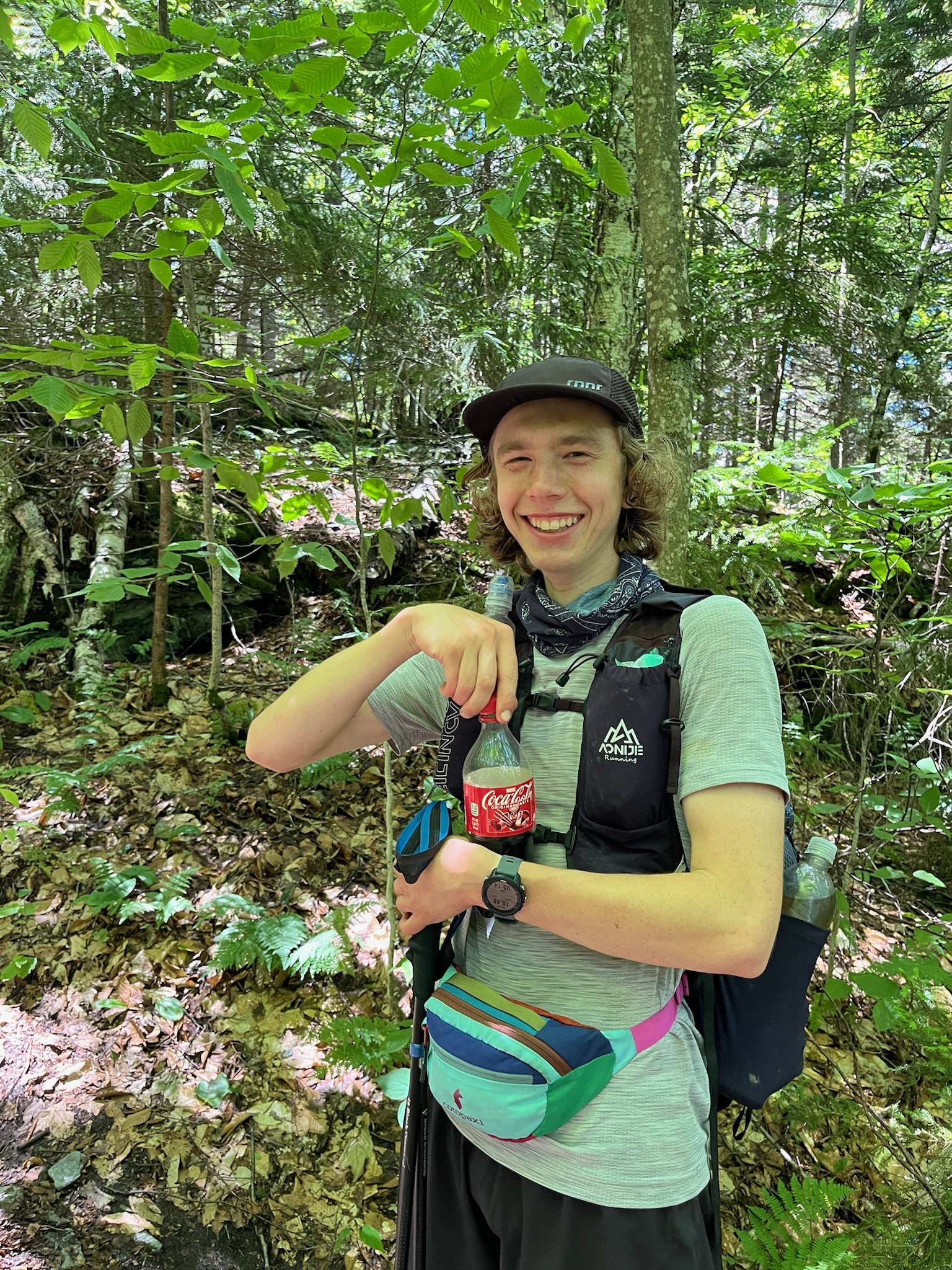
I didn’t eat any food until about an hour into the day, when I had a Clif bar and some dried fruit. Brandon Gap was the next road crossing where I saw absolutely no one. Lots of solitude on the trail early in the morning. It was 5:30am and the roads were quiet and trails were as well. I sat down on the trail and made a peanut butter honey wrap and put cold water into my oatmeal to soak. I saw one person a few miles south of Brandon Gap. We filled up water together and told each other our goals and plans. Again a super nice person with a nice dog. Always nice to chat with these kind of people. That is what makes these hikes and journeys so enjoyable.
After filling up water I took off down the trail, at a decent pace, eating some oatmeal as I walked. It did not sit the best with me. Last time I will be eating oatmeal on this trip. So far today the trail was fairly easy past Brandon Gap, gradual incline for miles but runnable. The next stop was Route 4 where my Dad was meeting me for a food resupply and just to say hi to me! He hadn’t seen me in 6 days. Route 4 was 25 miles from the shelter I left this morning, I was making good time due to the mild terrain. This was nice being able to move quicker for once without climbing as much, I love climbing but after a while I was so sore and tired, it hurt. Everything hurt.

Looking out over Chittenden Reservoir
As I got closer to Route 4 I could hear the roadway noise and knowing Dad is just a couple minutes away, I was getting more emotional. Holding back tears as much as I could. I had never felt this way before. Granted I hadn’t done something like this before to this scale. Now that I was at the road, I made my way across where I saw Dad waiting for me, once I saw him I immediately started crying happy tears. He gave me a huge hug and we both sat down and enjoyed each other’s company for a bit before I ate some lunch. It was 1pm when I arrived here and spent about 2 hours having lunch and doing aid stations things. Soaking and cleaning feet, draining and re-taping blisters, charging electronics, repacking food and gear for the night and next day, and eating as much as I could get down. I ate 2 large chicken salad wraps and some other snack items. I had some liquids as well. This much food was a mistake.

My mountain top retreat
I left Route 4 around 3pm, a little discouraged at the time knowing my goal was out of reach for today. I said my goodbyes to Dad and gave him a hug and proceeded down the trail towards Pico mountain. As I was climbing up Pico mountain I was having some major GI distress which was a disaster for me. Using the bathroom multiple times throughout the climb, it wasn’t that long or far either up the mountain, a couple miles at most. At this point I was just hoping to make it to Killington Peak (6 miles from Route 4.) The plan was further than that but threw the towel in on that. I finally made it to Killington Peak around 6:30pm which wasn’t terrible. I had some “extra” time to make dinner and get settled for the night before it got dark. I was hoping to stay in the shelter near the summit however the shelter up there was trashed. Bunks were canted in every direction and trash everywhere. It was so gross so I opted to cowboy camp since I didn’t have a tent with me. I did not carry a tent the whole way except for the first day and night. I settled down on the ski lift platform near the summit. I prepared my chicken salad wrap I had packed out from earlier and ate that then I decided to make a Knorr pasta sides dish. It filled the void but it was not my favorite by any means. All I wanted was a lot of calories to prepare for the next day and heal up my muscles from today. The ski lift platform was a cool spot however it got super windy and I got a little chilly during the night. The wind was blowing my sleeping quilt off my body, along with some of my other gear throughout the night. I finally made the decision at 3am I needed to find a more secluded spot out of the wind. I picked up my things and walked down the trail a bit to a nice patch of ferns and threw my mat down and went right back to sleep quickly. Ferns were actually pretty comfortable. Not great Leave No Trace practice but it got the job done for the remainder of the night.
Day 5 stats from my watch:
31.68 Miles
7,322’ of elevation gain
14h 34m 08s total time on trail today
Day 6 7/4/24 Killington Peak to Route 11

A small VT dirt road just south of Killington Peak
I slept so good amongst the ferns for a good three hours before I woke up at 6am was shocked at what time it was. I quickly packed up my stuff and made my way to the trail where I had left off yesterday. My stomach was so much better today thankfully. I ate a Skratch bar for breakfast with some banana bread while I hiked that I packed out from yesterday’s stop. Coming down off Killington was pretty easy going, steep for a bit but made good time and it turned into some old logging roads which are always a great way to get some quick miles in. I had about 11 miles before the first major road crossing at Vermont Route 103. Zac, Elizabeth and my parents were going to crew and pace me all day today starting here at Route 103.
Trail head parking lot massages
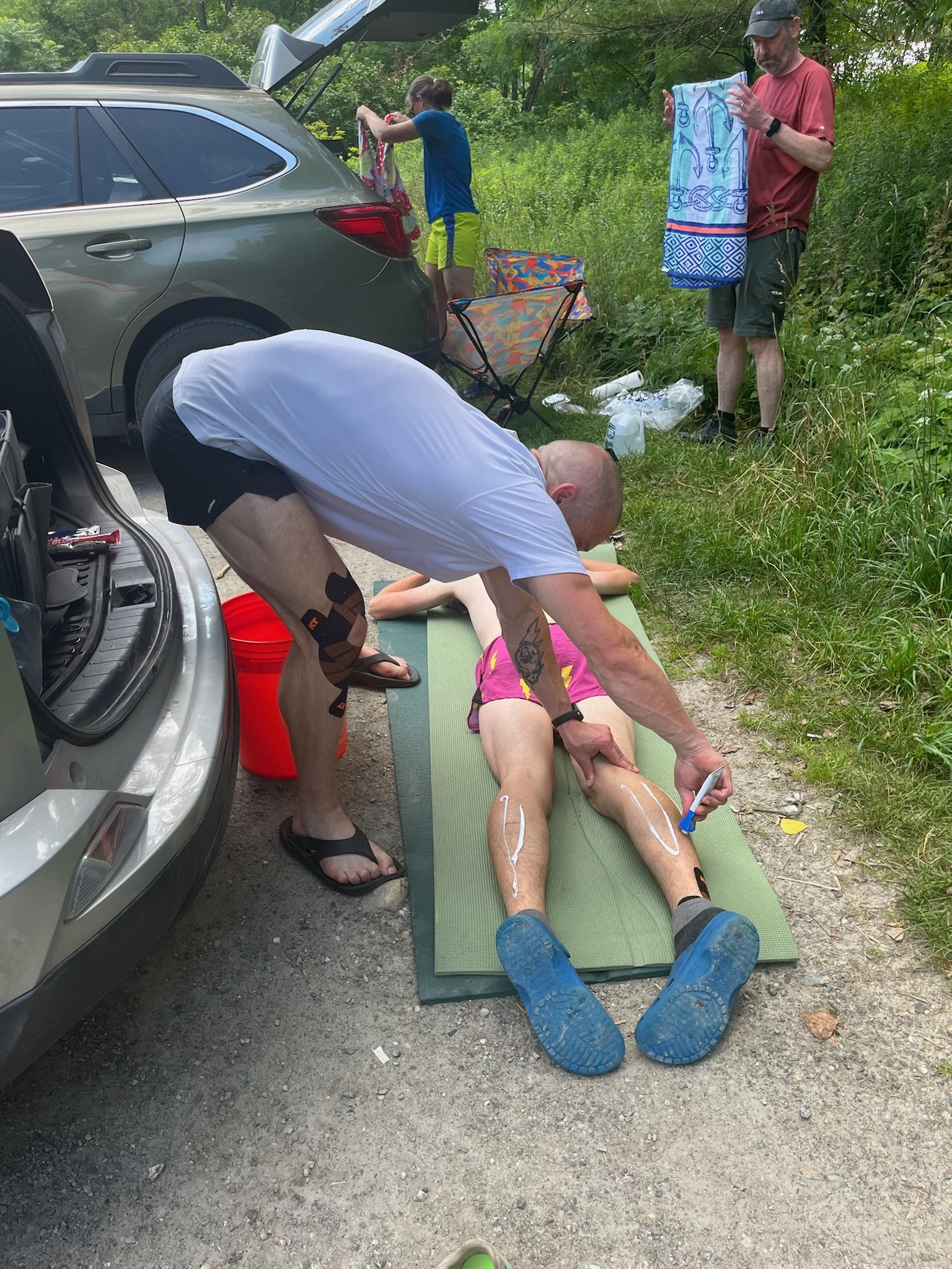
I made it to Route 103 before anyone else was there so walked down to the river and cleaned off my legs and soaked them in the water for a bit before I saw my parents arrive. Once I saw them I got out and went back to the parking lot to have a full restful pit stop. It was about 10:30am at this time, still early in day with 11 miles down! I spent a lot of time working on getting my feet back in decent shape and taped them all back up with more leukotape. Zac gave me a quick massage for my hamstrings and calves which were quite tight and sore. I ate a bunch of food here as well and had about 16oz of coke and a liter of water. I swapped to a dedicated running vest at this point which was a god send, so much more comfortable than the fast pack I was using.

Running into Mad Tom Notch
Elizabeth and I departed Route 103 around 11:30am which was a good turn around for all the stuff we did at the crossing. It was about a 6 mile section to the next crossing where the rest of the crew was waiting for Elizabeth and myself. We did this section in about 90 minutes which was awesome but also a little too fast! I got my waters refilled and restocked my snacks and Zac was now with me for the next 9ish miles. I was pushing the climbs way too hard and moving great but it definitely would catch up with me later in the day. We ran that section in about 2 hours. This was about a 13-14 minute average pace. Probably my fastest section on the whole trail. As I rolled in Elizabeth gave Zac and myself a little talk telling us we need to slow down if I wanted to get a lot of miles in. I don’t quite remember what time it was at this point but I think it about 3pm and 27 miles into the day. Quickly got my waters refilled and ate some more food at the stop before heading off on the next section of 11 miles. 3.5 hours later we arrived at Mad Tom Notch where my parents and Elizabeth were waiting for Zac and I. This was a long stop and it was getting dark, maybe around 7pm when we arrived. Did the usual aid station things plus a foot soak in an ice bath. This was so painful and cold. I was shivering in a matter of minutes from the ice. I couldn’t eat or drink I was so cold. Once I warmed back up I was able to get a deli sandwich down for dinner before taking back off on the last section of the day to Route 11. It was 5 miles from Mad Tom Notch. Zac was stay with me through the darkness on this little section, we hiked up over bromley and then down to the road. An easy section relatively.

Eating a sandwich at Rt 11 while going over plans for the next day
As we got to Route 11 Elizabeth was waiting for us, my parents had gone home after Mad Tom Notch. The plan was to continue on to the next shelter which was about 4 miles past Route 11. However it was already close to 11pm by now and Elizabeth decided it would be best if I just set up camp somewhere near the road. This would allow me to sleep for an extra hour or so. I was so tired and moving slow at this point it wouldn’t make sense to do those 4 miles tonight and miss out on the sleep. I could do it so much faster the next day. So I ate some food and we made a game plan for the last and final push the next day!
This night I did not have a tent, rope for a bear hang, or much of any other backpacking gear, just a couple sleeping mats and my quilt. My parents all had the rest in their car, so I ended up cowboy camping in the middle of a snowmobile trail on 4th of July night. Not the smartest move after I thought about it but I made it out alive and didn’t get run over. Anyways, since I didn’t have a bear hang I couldn’t safely bring all my food with me into the woods where I slept. So I made a call to Dad and had him meet me at the road crossing the next morning for 6am so I could have all my food and gear I needed for the next section. I said goodbye to Zac and Elizabeth and disappeared into the woods.
Day 6 stats from my watch:
43.91 Miles
8,301’ of elevation gain
15h 20m 37s total time on trail today
Day 7 7/5/24 Route 11 to Southern Terminus
The last and final day! It felt amazing to only have one day left before the finish line!
I did not sleep too great due to some rain showers throughout the night and I was soaked along with my quilt. I never got cold at all, it was so humid and hot that I was sweating most of the night. It sucked that couldn’t get a ton of sleep in but at least I was resting.
Just before leaving Route 11
To my surprise Dad was actually on time and arrived about 10 minutes before 6am! As I was walking out of the woods I saw a dog and realized it was my dog, Oli! I called to him and he came running, I hadn’t seen Oli in about a week now, a nice little surprise. I quickly ate a bagel with some cream cheese and downed some water for breakfast. I packed up all my stuff I would need for the next section of 17 miles until I saw the crew again at Kelly Stand Road. I planned for about 5-6 hours at a minimum for food, I would have to stop to filter water every couple hours as well. My nutrition for this section was a mix of Oreos, some gels, and other easy to digest sugars. Can’t quite remember exactly what I ate but I do know I ate a ton of Oreos on this section!
These 17 miles flew by it seemed. Easy moving, one decent climb up Stratton Mountain, that was really it for big climbs. It was pretty gradual and very runnable, which was good but also not. I was definitely moving a little too fast for the day I had ahead of me. I was still eating every 20-30 minutes getting about 90 grams of carbs and 3-400 calories an hour. It was hard but if you do it right it can be done. Oreos were hard only because of the amount you need for 90 grams. It was about 11 Oreos over the course of an hour. As I was climbing up Stratton I came across an AT thru hiker as I was eating some Oreos and offered him a couple knowing I wouldn’t be able to eat them all and I was almost done with this section. He took them with no hesitation and nicknamed me “The Oreo Merchant” I arrived at Kelly Stand Road just after 11am where Dad, Elizabeth, Zac and the dogs of course, Oli and Todd were waiting and shocked at my arrival time.
Kelly Stand Road resupply point
We did a 30 minute stop here getting lots of calories, liquids, a foot sock and complete wipe down of my legs are upper body. As I was eating I was also using the Theragun on my quads and glutes. Zac put some weird ass toe spreader things in between my feet because my feet have been in shoes for the past 6 days and cramped. Ahead of us was a nice long 22 miles that would become my worst experience on the Long Trail.

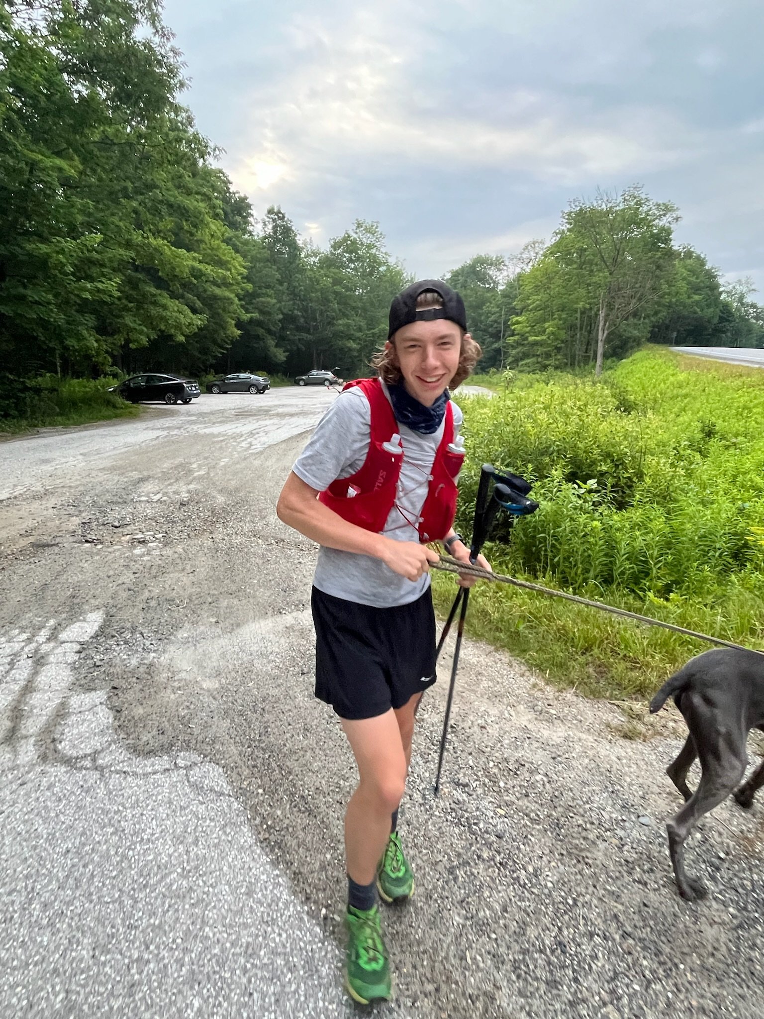
The pacers, and Todd the dog
Zac was now with me for this section and we headed off keeping a moderate pace up the long gradual climb. I was not feeling 100% up the climb and had some moments where I was feeling lightheaded and felt like I was gonna pass out. I told Zac I needed a minute to sit down and rest and I asked him if I looked pale, he replied with “a little bit but you’ll be ok.” We took a couple minutes for me to drink water and get some food in my body. Come to find out Zac’s “little bit” was more like “OH SHIT YOU NEED TO SIT DOWN!” I found this out on the drive back home after the Long Trail! These kind of things get to your head and you’ll start thinking negatively so I think that is why Zac didn’t truly tell me how bad it was. This was all happening due to overheating and dehydration and probably a combination of my body trying to tell to just stop. There was a couple moments like this on this section so it made for a super slow 22 miles which was ok. I was able to get most of the lightheadedness to go away minus a little headache with Zac’s help and knowledge of getting my fluids back under control as well as my body temperature. Once we got to the peak of Glastonbury Mountain it was fairly easy going downhill to Vermont Route 9 where Elizabeth and Dad were waiting.
After a good 6.5-7 hours of hiking Zac and I made it to Route 9. Another 30ish minute stop here to get prepared for some night miles. We had about 14 miles to the border of Massachusetts from here which felt like nothing after the 38 miles I had already done today. Elizabeth hopped on the trail with me for the final push which was awesome. She is the absolute best. We enjoyed the last couple daylight miles before throwing on our headlamps. They only lasted a few miles before starting to fade out. This was extremely unfortunate because neither of us brought extra batteries or an extra lamp. We pulled out our phones and Elizabeth pointed one forward for her and then one behind her for me to follow. We did this for about an hour when we got to the next road crossing. Amateur hour I guess. I have no idea why we didn’t check the batteries in them. Stupid honestly. At the crossing we had the guys (Zac and Dad) replace the batteries and I changed my socks before heading back out for the final three miles of the trail. I had some dirt and stones in my socks bothering my feet. Leaving the road crossing I was feeling aggravated so I was moving quickly in the dark and just wanted to be done at this point. It was just about 11:30pm. It was a moderate 3 miles but the trail was overgrown and the fog rolled in pretty heavy so visibility was low.

Putting my hair up to help from overheating even more

Harmon Hill, 12.5 miles to the finish line
I could barely make out the sign at the Southern Terminus as we approached. Once there I took a couple moments to take it all in before Elizabeth snapped some photos of me. I was pretty emotional now, half crying, half smiling. It was a huge accomplishment for me, I had a goal of under 7 day and I had achieved just that!

The Southern Terminus sign at the border!
6 Days 19 Hours and 5 minutes!
Day 7 stats from my watch:
52.56 Miles
11,008’ of elevation gain
18h 35m 26s total time on trail today
The finish line was in the middle of the woods three miles away from any road. So we hiked out to the road where Dad and Zac were waiting for us. At this time it was 1am and I was so tired, these 3 miles did not go by fast at all. Once we got close to the road I could see some lights on houses and then some headlights. I hiked right into Dad’s arms and he gave me a huge hug and then I just threw myself on the ground and started crying. I was so happy and proud of myself for what I had just completed. It took me a little while after the fact to process everything that actually happened.

Dad giving me the best hug in the world, after arriving at the car
I was so grateful for everyone that supported me along this journey. All the people that physically helped me and all those who cheered me on from behind the scenes, THANK YOU!
Running is usually known as a non team sport but trail running is far from that. Everything I accomplished on this journey was due to all the support I had. I could not have done the Long Trail as fast as I did without you all there. Thank you again!
I hope this inspires someone out there to go for that goal in your life that you’ve been dreaming of. Make the time, make it happen if it truly means something to you. We all have an end date, we just don’t when that is, we don’t know what tomorrow will bring so go out there and add some checkmarks to your bucket list!


